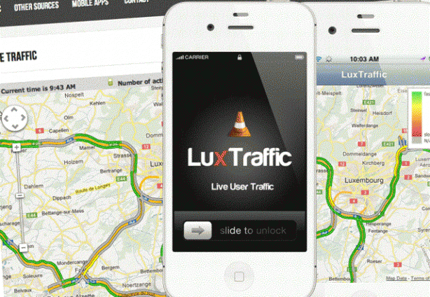
The new “LuxTraffic” app takes advantage of each user’s anonymised location data to calculate current speed of drivers on different roads, identify traffic jams and suggest detours. Produced by the university’s Interdisciplinary Centre for Security, Reliability and Trust (SnT), the app aims to help ease traffic congestion by providing smarter driving routes as traffic conditions change.
“Navigation devices capable of pointing out traffic jams are already commercially available,” Dr. Raphaël Frank, LuxTraffic’s project manager, said in a statement on Wednesday. “But what makes our application so unique is its uncanny ability to respond ‘dynamically’ to the traffic situation at hand.” Instead of sending masses of drivers down the same exact detour, and thus creating a new bottleneck, the app recommends differing alternative routes, he explained.
Luxembourg postal service P&T has already signed up all the vehicles in its fleet, giving the app a substantial pool of driving data to build on. “Helping out is in our own best interest, really, as it would in turn allow P&T’s vehicles to navigate city traffic more efficiently,” Jean-Marie Spaus, P&T’s acting general manager, told the press.
LuxTraffic currently covers Luxembourg’s highways, and the SnT plans to extend the service to major streets.
The free Android or Apple app can be downloaded from www.luxtraffic.lu.