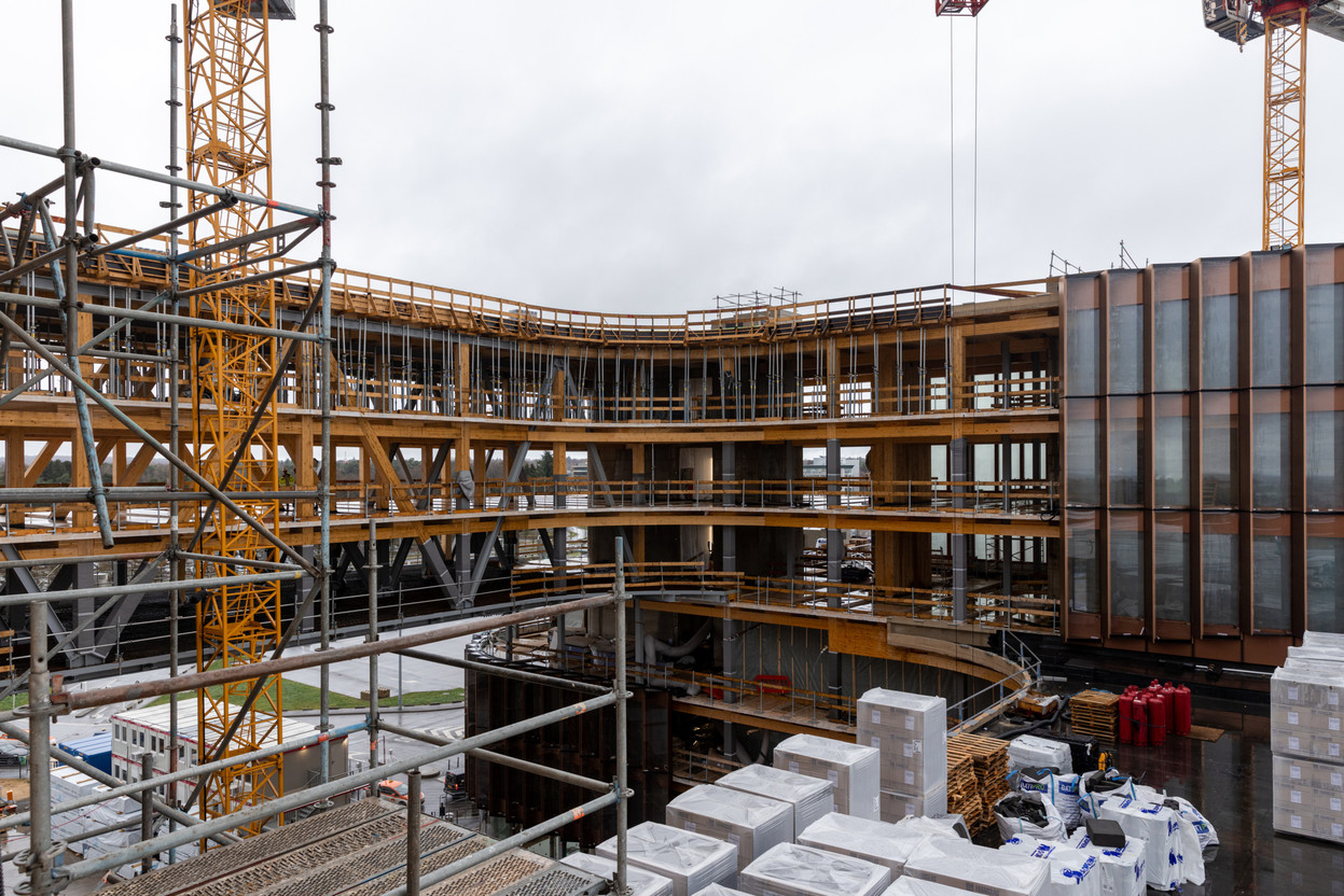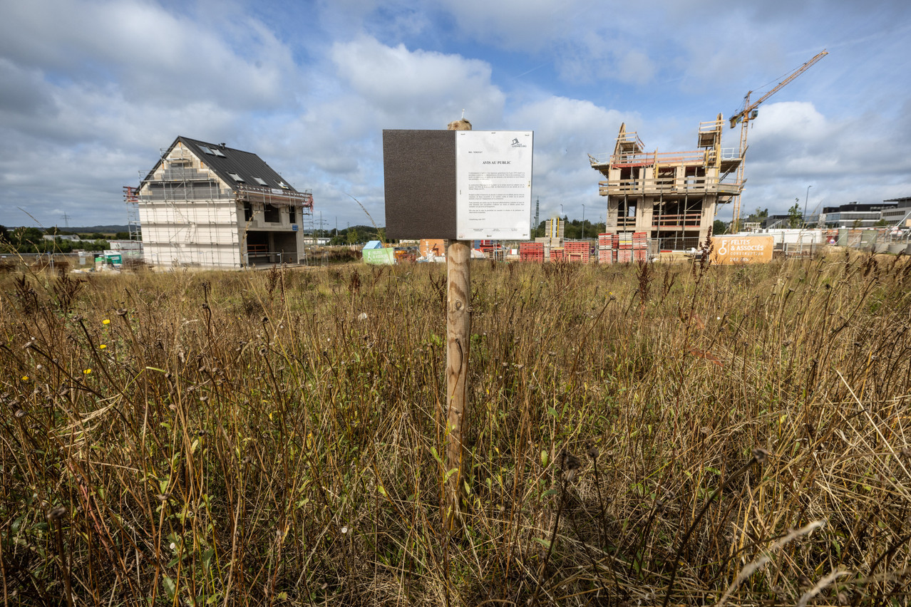
How is land used to build homes? The Housing Observatory (Observatoire de l’Habitat) analysed this in its “Note 35” (in French), published on Thursday 5 October and covering the period 2016-2022.
This was a period of six years “marked by stable residential consumption and a significant increase in the reconstruction of residential land,” sums up the ministry of housing. This reflects “growing pressure to find land for construction in a context of high concentration of residential land.”
Housing can be built either on vacant land (if a plot was vacant in 2016 and is occupied by a building in 2022, the Observatoire de l’Habitat classifies it as “consumed”), or on land where a pre-existing building has been demolished to be replaced by a new construction. This is known as “rebuilt land.”
843 hectares consumed, 467 for residential use
Between 2016 and 2022, 843 hectares were consumed by buildings in all urbanised areas or areas earmarked for urbanisation in accordance with municipalities’ general development plans (PAG). This represents an average of 140 hectares per year, compared with 110 hectares per year between 2010 and 2016 and 117 hectares between 2004 and 2010.
Over the last six years, 386 hectares have been used for residential areas, 211 for business parks, 112 for public buildings and facilities, 81 for mixed-use areas and 53 hectares for “other areas.” Land consumption is “stable” if we look only at residential and mixed zones: 78 hectares on average per year compared with 77 and 74 over the two previous periods (2010-2016 and 2004-2010).
Mapping analyses have identified dwellings in 93% of the residential areas consumed.
17,329 new homes were built in these areas. 59% of them are flats and 41% of them are houses. The net density of flats (101.5 dwellings per hectare) is, unsurprisingly, higher than that of houses (21.1).
Vacant urban spaces--known as “Baulücken” (plots of undeveloped land that do not require the construction of additional roads or networks and therefore allow almost full use of the surface area of the land, without the need for the acceptance of a special development plan or its equivalent in the former PAGs)--represent 43% of the surface area consumed.
317 hectares rebuilt, 241 for residential use
At the same time, 317 hectares were “rebuilt,” of which 241 hectares were in residential areas. This represents 40 hectares per year between 2016 and 2022, compared with 29 between 2010 and 2016 and 21 between 2004 and 2010. Housing has been identified on 95% of this area.
“The rate of land reconstruction in business parks and public buildings and facilities zones has also increased compared with the 2010-2016 period. The proportion of residential areas compared with other types of area is higher for reconstruction (76%) than for consumption (56%).”
As a result, 12,328 homes have been “rebuilt” over the last six years. 78% of them are flats and 22% of them are houses. There’s a net density of 99.9 dwellings per hectare in the first case and 20.4 dwellings per hectare in the second.
Housing difficulties and lack of information on rent subsidies
“Against a backdrop of increasing pressure on the environment and the natural environment, and with a view to progressively limiting the artificialisation of land, it is becoming imperative to keep a close eye on the dynamics of construction,” explains the Housing Observatory. Its study is based on the analysis of orthophotographs (rectified aerial images of the earth’s surface) georeferenced and calibrated on the basis of the digitised cadastral map.
“It is important to stress that only buildings are taken into account in this context, thus excluding the consumption of land linked to the construction of streets, car parks, swimming pools, parks or light structures such as garden sheds. It should be noted that the internal conversion of buildings to create additional accommodation cannot be taken into account, as it does not affect the building’s appearance from the air.”
To coincide with Housing Week, which began on Thursday 5 October, the Housing Observatory has published two other studies. Note 34 (in French) introduces an indicator of housing-related difficulties for households. It shows that 47.1% of the least well-off tenants have at least two housing-related difficulties, and 31.8% have at least three difficulties.
Its analysis report number 8 (also in French) on rent subsidies shows that 47% of potentially eligible households, but not beneficiaries, are unaware of the housing subsidies available in Luxembourg. 45% believe that they are not eligible for housing subsidies.
This article was first published in French on Paperjam. It has been translated and edited for Delano.